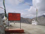
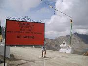
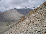
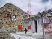
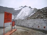
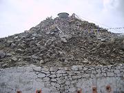
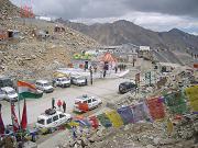
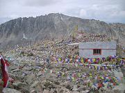
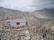
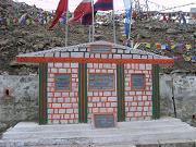
The 5,359 m elevation is from a modern GPS survey by a team of researchers. It accurately matches SRTM data and Russian topographic mapping, and it is broadly consistent with several other independent travellers' GPS reports.
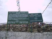
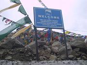
Several of these sources contain assertions by local people who claim that the 5,602 m (18,380 feet) height claimed by the summit signs has been inflated for the purpose of record breaking. The even higher elevation of 5,682 m (18,640 feet) that has been claimed by Guinness World Records and the National Geographic Society is not supported by any evidence and may be rooted in a copying error from 5,602 m.
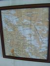
The coordinates and local SRTM elevation data are easily verifiable by clicking on [show location on an interactive map] 34°16'44"N, 77°36'17"E and following the Google Earth link, which leads to some excellent new high resolution satellite imagery.
Khardung La is widely, but incorrectly, believed to be the world's highest motorable pass. There are higher motorable passes at Suge La, west of Lhasa, 5,430 m (17,815 feet), and Semo La 5,565 m (18,258 feet), between Raka and Coqen in Central Tibet. Both these elevations are supported by GPS and SRTM evidence and the latter was also measured by the Catalans and supported by the CIC, see above. Vehicles have been driven over the 5,582 metres (18,314 ft) Marsimik La, in the Indian Karakoram to the north-east of Khardong La, but it is debatable whether this pass should be considered to be motorable. There may be higher motorable passes elsewhere in Tibet, but verification of these has not been possible because of lack of information and restricted access. |


